

Animals, Zoology
Antelopes
Whales, Seals, Dolphin
Dogs
Horses
Deers
Crocodiles
Shells
Rabbits, Hares
Elephants
Butterflies
Fossils
Hens, Roosters, Turkeys
Cats
Insecta
Lemurs
Lions, Tiger, Feline
Lizards
Pigs, Boars
Cows, Cattle
Bears
Sheeps, Goats
Fishes - Ichthyology
Pigeons, Doves
Bats
Spiders
Frogs,
Reptiles
Monkeys
Snakers
Turtles
Birds
Bird Eggs
Other animals
Fine Arts
Alphabets Initials Calligraphy
Heraldry, Flags
Silverware
Traditional Costumes, Anthropology
Decorations Ornements
Arab decoration
Chinese decoration
Japan Decoration
Textile decorations
Jewels Watches
Iconology
Furniture
Tiles
Sevres porcelain
Literary Subjects
Witticism
Statues Sculptures
Vases Anphorae Furnishings
Other decorations
Botany, Flowers, Fruit
TREES
HERBARIUM
HERBARIUM Duhamel ed. 1755
HERBARIUM John Hill ed. 1756
HERBARIUM Mattioli ed. 1568
HERBARIUM Mattioli ed. 1580
HERBARIUM Mattioli ed. 1585
HERBARIUM Mattioli ed. 1590
HERBARIUM Mattioli ed. 1604
HERBARIUM Mattioli ed. 1605
HERBARIUM Mattioli ed. 1645
FERNS
FLOWERS
FLOWERS Alpine Plants series
FLOWERS Coutiere
FLOWERS Anne Pratt series
FLOWERS Favourite Flowers
FLOWERS Fiori della Bibbia
FLOWERS Flore Alpes Schroter
FLOWERS Grandville series
FLOWERS Grower Guide
FLOWERS Fraipont series
FLOWERS liberty Rivier
FLOWERS Louis Van Houtte
FLOWERS Onze Flora series
FLOWERS Orchids Godfery
FLOWERS Orchids Miner
FLOWERS Orchids Schulze
FLOWERS Pflanzen-Atlas
FLOWERS Piante Utili Ahles
FLOWERS Bois Plantes jardins
FLOWERS Revue Horticule
FLOWERS Prof. Cappi series
FLOWERS The Garden
FLOWERS Wild Flowers Hulme
LEAVES
FRUIT
FUNGI
STILL LIFE
Maps
Europe
Africa
America
Oceania
Poles
Hemispheres
Solar system, constellations
All Europe
Albania
Andorra
Armenia
Austria
Belgium
Bielorussia
Bosnia and Herzegovina
Bulgaria
Czech Republic
Cyprus
Croazia
Denmark
Esthonia
Finland
France
Georgia
Germany
Great Britain
Greece
Ireland
Iceland
Italy
Latvia
Liechtenstein
Lithuania
Luxemburg
Macedonia
Malta
Moldavia
Monaco Principality
Montenegro
Norway
Holland
Poland
Portugal
Roumania
Russia
Serbia
Slovakia
Slovenia
Spain
Sweden
Switzerland
Ukraine
Ungheria
AsiaAlbania
Andorra
Armenia
Austria
Belgium
Bielorussia
Bosnia and Herzegovina
Bulgaria
Czech Republic
Cyprus
Croazia
Denmark
Esthonia
Finland
France
Georgia
Germany
Great Britain
Greece
Ireland
Iceland
Italy
Latvia
Liechtenstein
Lithuania
Luxemburg
Macedonia
Malta
Moldavia
Monaco Principality
Montenegro
Norway
Holland
Poland
Portugal
Roumania
Russia
Serbia
Slovakia
Slovenia
Spain
Sweden
Switzerland
Ukraine
Ungheria
Africa
America
Oceania
Poles
Hemispheres
Solar system, constellations
Views of italian cities
Val d Aosta e Piemonte
Liguria
Lombardia
Veneto
Friuli - Venezia Giulia
Emilia-Romagna
Toscana
Marche
Umbria
Lazio
Abruzzo
Molise
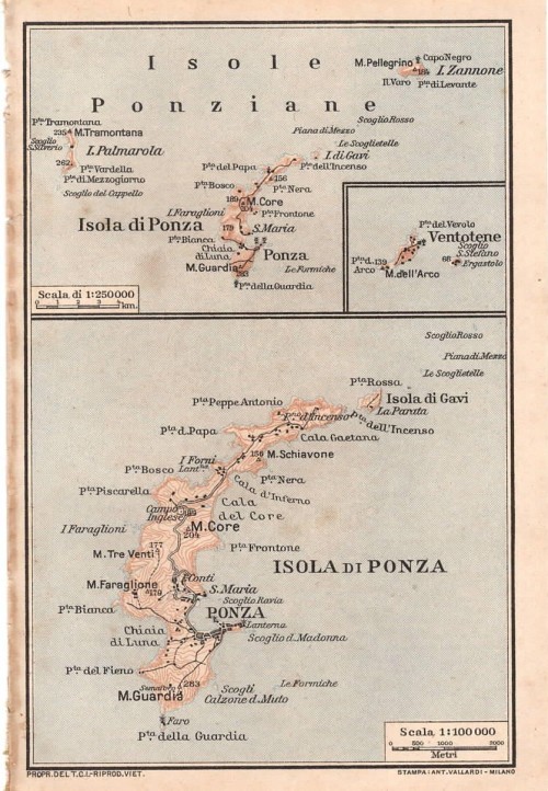
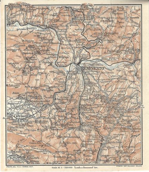
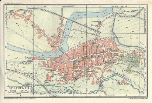
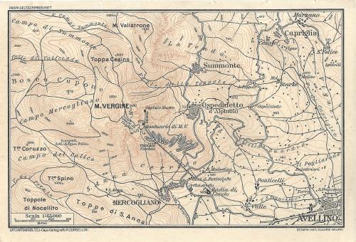
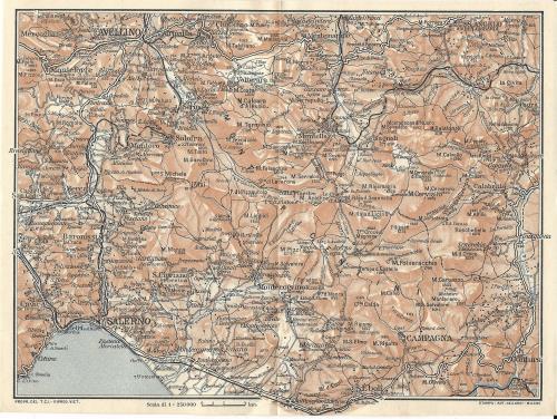
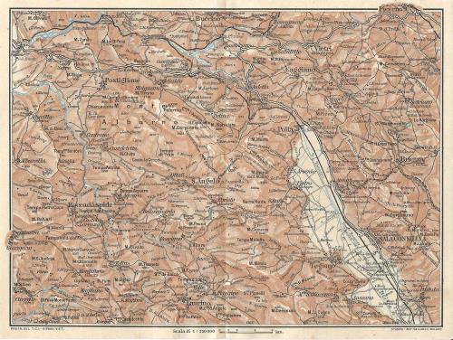
Campania
Puglia
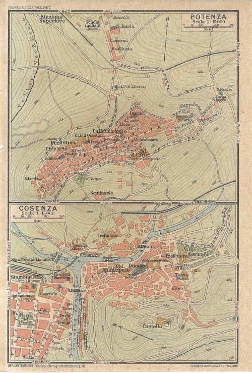
Basilicata
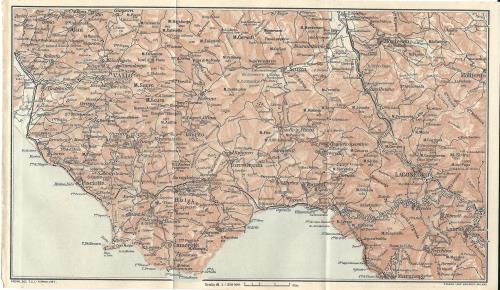
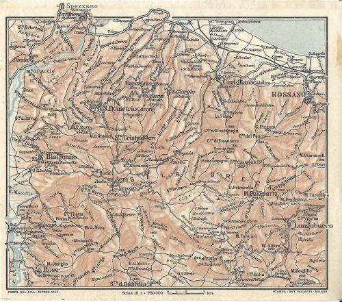
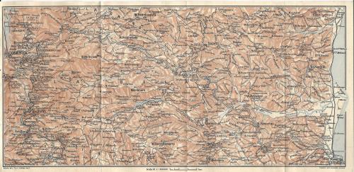
Calabria
Sicilia
Sardegna
Liguria
Lombardia
Bergamo
Brescia
Brianza
Como
Cremona
Lake of Como
Lake of Garda
Lake Maggiore
Lecco
Lodi
Mantova
Milan city
Milan province
Monza
Pavia
Valchiavenna
Valtellina
Varese
Trentino - Alto AdigeBrescia
Brianza
Como
Cremona
Lake of Como
Lake of Garda
Lake Maggiore
Lecco
Lodi
Mantova
Milan city
Milan province
Monza
Pavia
Valchiavenna
Valtellina
Varese
Veneto
Friuli - Venezia Giulia
Emilia-Romagna
Toscana
Marche
Umbria
Lazio
Abruzzo
Molise
Campania
Puglia
Basilicata
Calabria
Sicilia
Sardegna
Views of foreign cities
Views of foreign cities - Europe
Views of foreign cities - Africa
Views of foreign cities - America
Views of foreign cities - Oceania
Views of foreign cities - Antarctic
Albania
France
Andorra
Armenia
Austria
Belgium
Bielorussia
Bosnia and Herzegovina
Bulgaria
Czech Republic
Cyprus
Croazia
Denmark
Esthonia
Finland
France
Georgia
Germany
Gibraltar
Great Britain
Greece
Ireland
Iceland
Latvia
Liechtenstein
Lithuania
Luxemburg
Macedonia
Malta
Moldavia
Monaco Principality
Montenegro
Norway
Holland
Poland
Portugal
Roumania
Russia
Serbia
Slovakia
Slovenia
Spain
Sweden
Switzerland
Ukraine
Ungheria
Views of foreign cities - AsiaFrance
Andorra
Armenia
Austria
Belgium
Bielorussia
Bosnia and Herzegovina
Bulgaria
Czech Republic
Cyprus
Croazia
Denmark
Esthonia
Finland
France
Georgia
Germany
Gibraltar
Great Britain
Greece
Ireland
Iceland
Latvia
Liechtenstein
Lithuania
Luxemburg
Macedonia
Malta
Moldavia
Monaco Principality
Montenegro
Norway
Holland
Poland
Portugal
Roumania
Russia
Serbia
Slovakia
Slovenia
Spain
Sweden
Switzerland
Ukraine
Ungheria
Views of foreign cities - Africa
Views of foreign cities - America
Views of foreign cities - Oceania
Views of foreign cities - Antarctic


 |
|
 |
|
 |
|
 |
|
 |
|
 |
|
 |
|
 |
|
 |
|
 |
|
Prev. Next
First page Last page